-
Wind Sensing
Sniffer4D Multi-gas Sensing
Sniffer4D GHG (CO2 & CH4) Sensing
Speedip V2 Smart Water Sampling
Aerial Gas Sampling
Nuclear Radiation Sensing
Versatile & Powerful Generalists
Towards Carbon Neutrality
No More Rope Tangling & Full Automation
Close the "Sense→Sample→Lab Test" Loop
Sense while Flying
Assess the Scene from a Safer Distance
Ship Fuel Sulfur Content (FSC) Estimation
High FSC Ship Quick Screening
UAV-based Environmental Data Acquisition Solutions
Class-leading Environmental Mobile Sensing Solutions
for Better Quality and More Efficient Decision Making
Our solutions have helped 1400+ users across 48 countries analyse hazardous gases,
air pollution, greenhouse gases (GHG), meteorology, nuclear radiation, and sample air and water…
UAV-based Environmental Data Acquisition Solutions
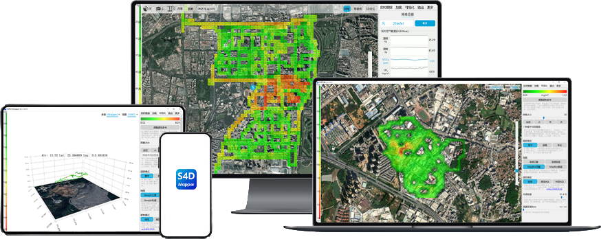
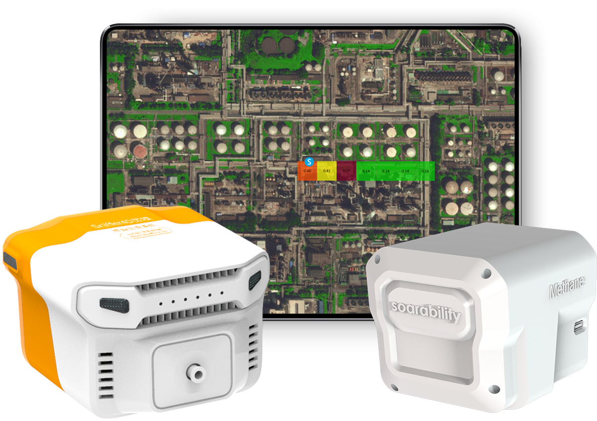
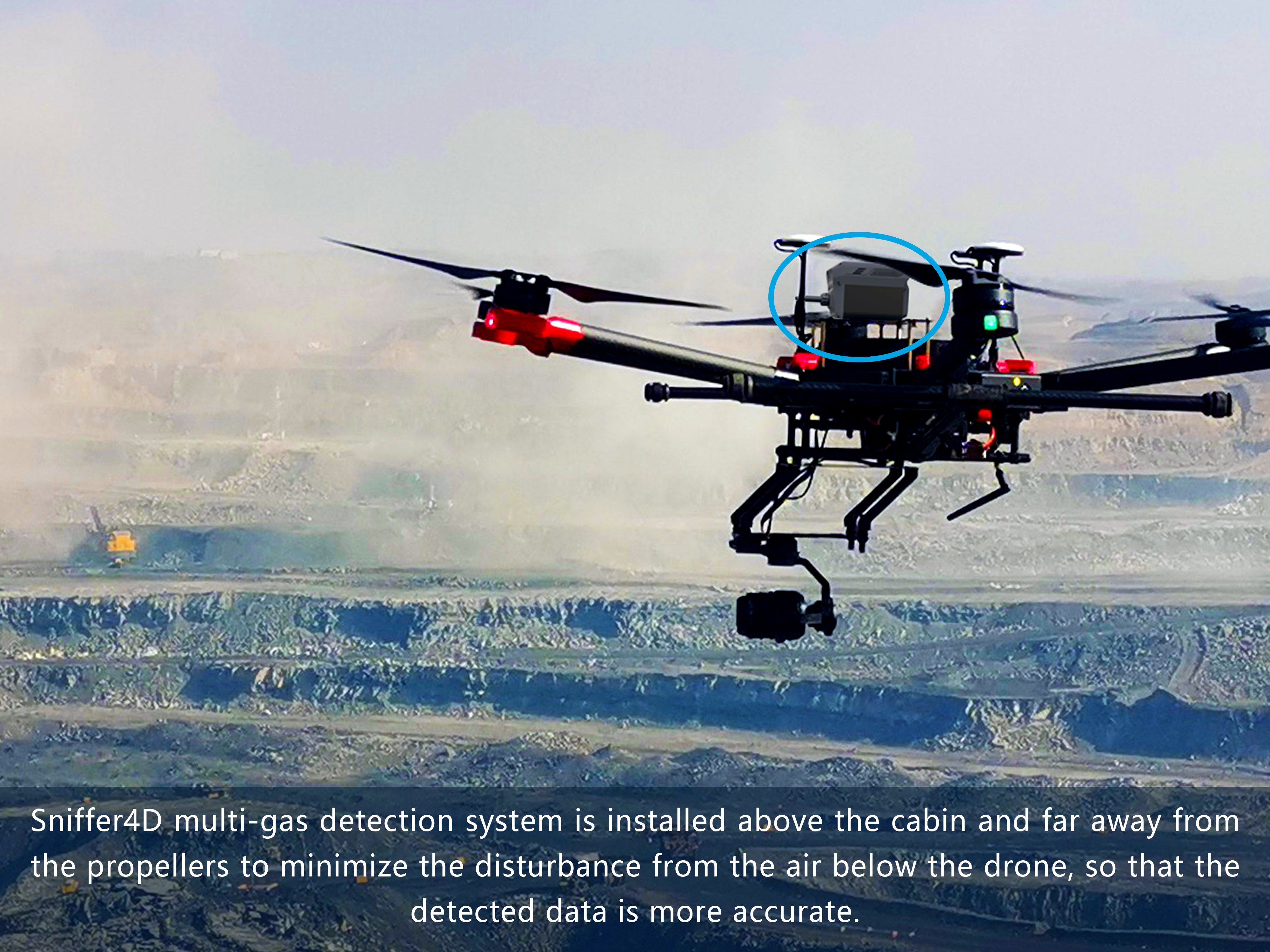
Class-leading multi-gas sensing solutions that can be seamlessly integrated with UAV platforms. These solutions sense up to 9 gases at a time and display their 3-D distributions in real-time, providing timely actionable insights for decision makers.
Sniffer4D Multi-gas Sensing
Fire/HAZMAT Response - Toxic Gas Identification, Gas Diffusion Analysis, Evacuation Area Zoning
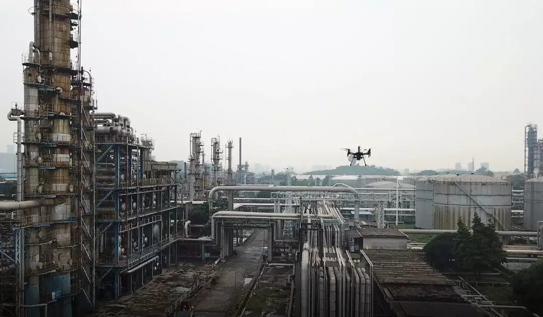
Oil & Gas - Facility Leak Detection (H2S, TVOC & More)
Environmental Protection - General Air Monitoring, Air Pollution Source Locating
Research - Air Pollution Vertical Profiling
An innovative way to capture 3-D greenhouse gas (CO2 and CH4) distribution, offering a "Top-down" approach for estimating carbon emissions, and accelerating the world toward carbon neutrality.
Sniffer4D Greenhouse Gas Sensing
Oil & Gas - Facility Leak Detection (CH4 & CO2)
Environmental Protection - Source & Sink Locating, Concentration Monitoring,
Fixed Monitoring Site Selection, Carbon Flux Calculation (available in 23Q2)
Research - GHG Vertical Profiling, Carbon Flux Calculation, Meteorology Analysis
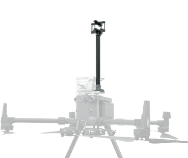
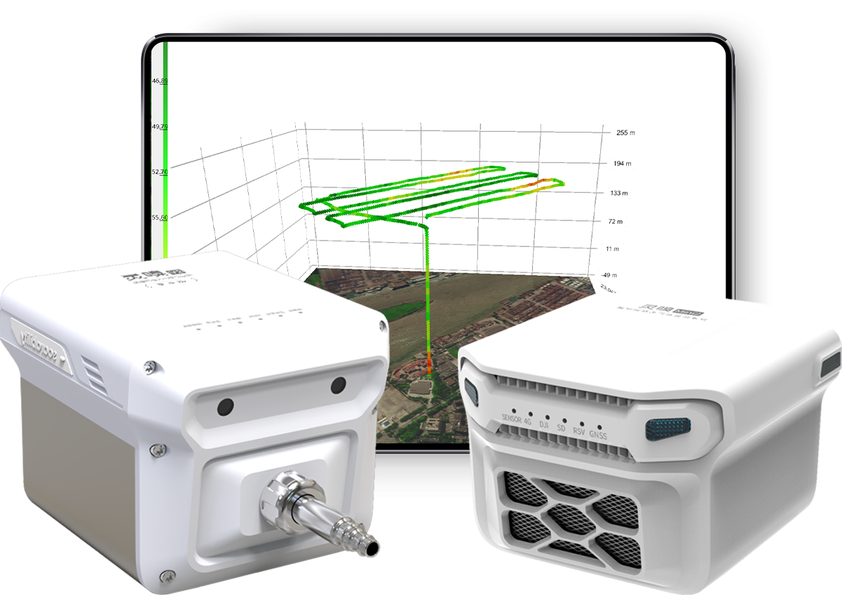
This UAV-based solution senses temperature, relative humidity, air pressure, wind speed and wind direction at almost any desired position in real-time. Thanks to our proprietary motion compensation algorithms, the system senses accurate wind speed and direction even while it is flying.
Wind Sensing
Meteorology Research - Vertical Profiling
Environmental Protection - Air Pollution Diffusion Analysis
Fire Response - Fire-spreading Analysis
Wind Power Generation - Site Selection, Performance Evaluation
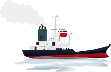
Fly Sniffer4D into the exhaust plume, analyze the gas composition, and quickly inverse compute the estimated fuel sulfur content (FSC) of the ship, significantly boosting screening efficiency.
Ship Fuel Sulfur Content (FSC) Estimation
Maritime Affairs - Ship FSC Quick Screening
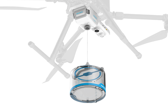
The seamlessly integrated system can collect water samples at designated locations and depths, revolutionizing water sampling operations and giving operators full confidence while enhancing personnel safety.
Speedip V2 Smart Water Sampling
Environmental Protection - Remote Water Sampling in Lakes and Rivers
Maritime Affairs - Remote Sea Water Sampling
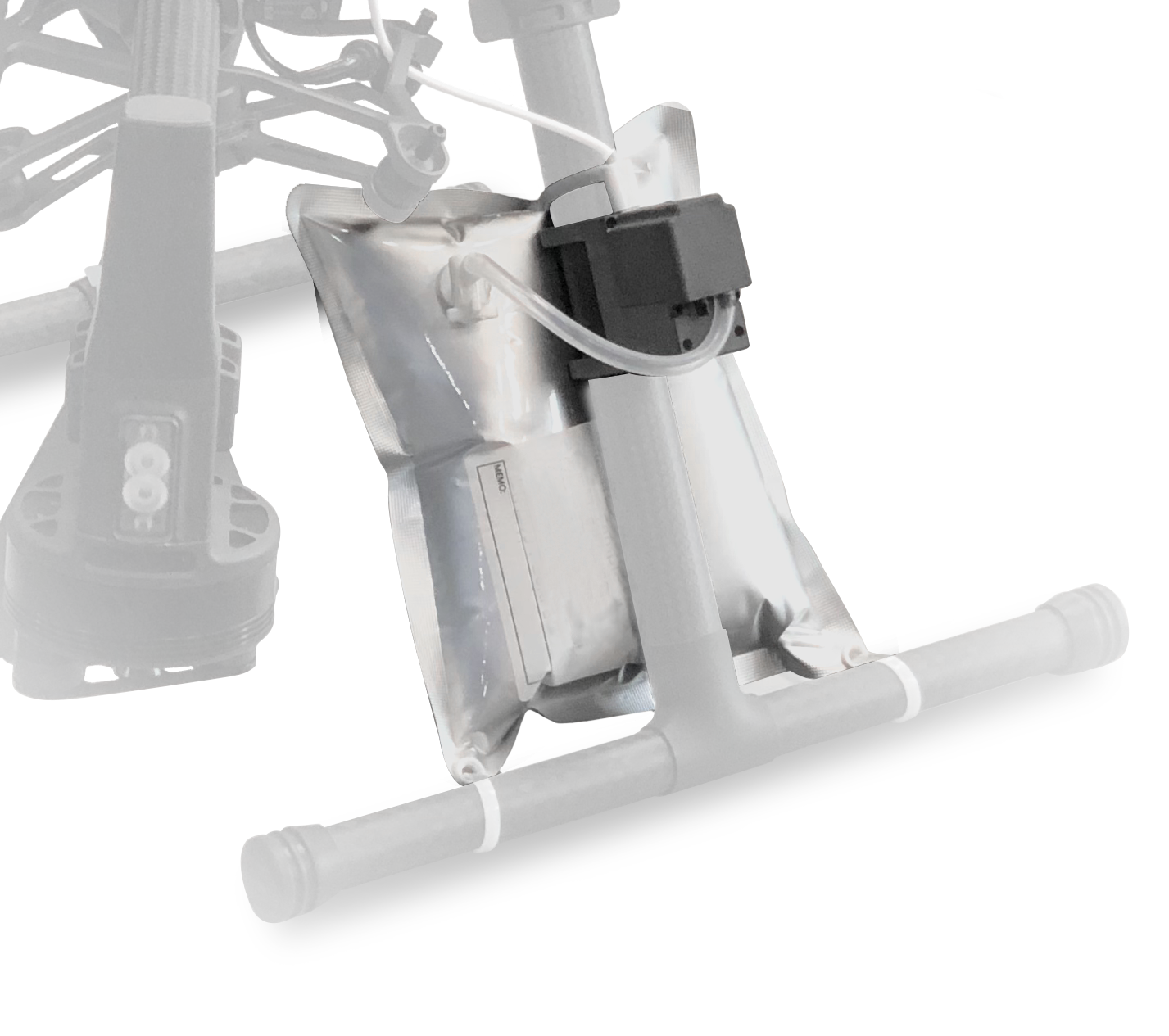
Take air samples from almost any desired position by integrating smart gas sampling capability to UAVs. Close the "Sense→Sample→Lab Test" loop.
Aerial Gas Sampling
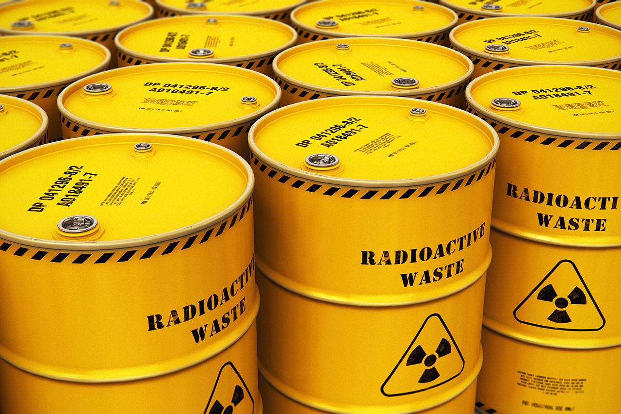
A safe, efficient, and accurate way to obtain 3D nuclear radiation dose rate distribution. Assess the scene before sending your people in.
Nuclear Radiation Sensing
HAZMAT Response - Emergency Radiation Detection & Mapping
Customs - Cargo Nuclear Radiation Inspection
Mining - Nuclear Radiation Mapping
Ground-based Environmental Data Acquisition Solutions
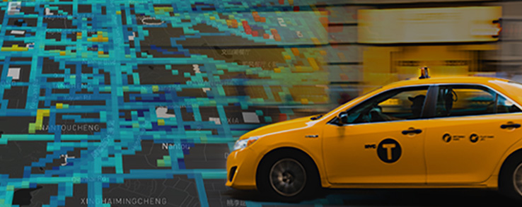
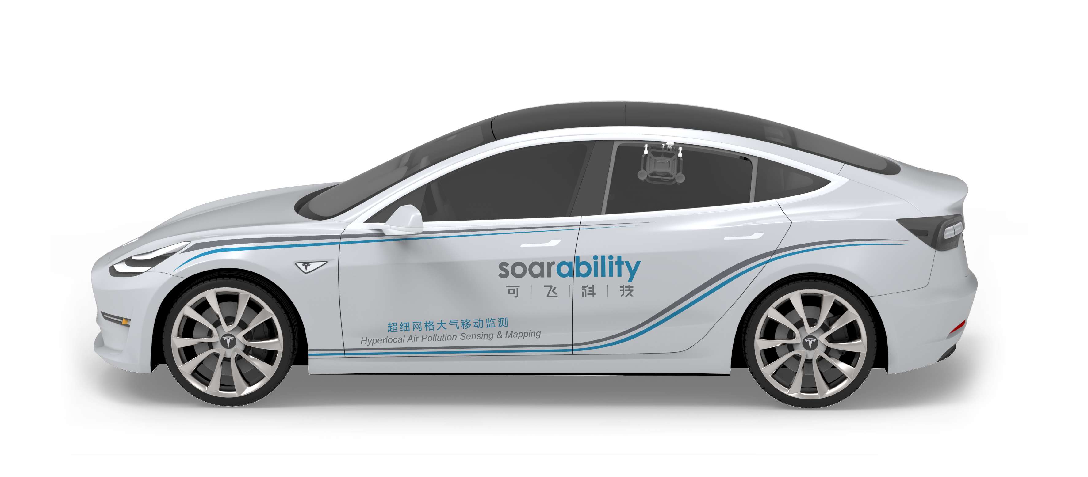
The CitySense hardware system can be easily mounted on public transport (e.g. taxis and buses) and service vehicles (e.g. garbage trucks) to cost-effectively gather environmental data (CH4, PM, TVOC, and CO2) with ultra-high spatial-temporal resolutions. The CitySense software platform is also a powerful tool for converting the big data acquired into rich actionable insights.
CitySense | Public Transport & Service Vehicle Mounted
An agile, simple, and non-damaging solution for quickly mounting Sniffer4D multi-gas and GHG systems to most ground vehicles.
"Attach & Go" Ground-based Gas Sensing
Our solutions have helped 1100+ clients worldwide boost efficiency, reduce risk and make more informed decisions
What Our Clients Say
Dr. Min Li, Engineer of Everbright Environment and member of the carbon monitoring project
"With precise and high spatial resolution data, Sniffer4D 1ppm NDIR CO2 Sensing System and 1 ppm TDLAS Methane Sensing Module have exceptional performance in monitoring and locating the source of greenhouse gases emission in landfills and sewage plants. With ultra compact and lightweight structural design, the user-friendly Sniffer4D system can be applied to regular inspection in the landfill area for leakage location, allowing easy operation and management."
Jie Yin, Assistant Captain of Maritime Safety Administration (MSA)
"This drone-based sniffing solution allows us to quickly identify the suspected ships that use unqualified fuel. It helps reduce the risk of personnel contact on-boarding during the epidemic, extend inspection coverage, and expand inspection targets from arriving ships to transiting ships for emission control. It also brings effective warning and deterrent on the ships using unqualified fuel."
Jianhuai Ye, Associate Professor at SusTech School of Environment
"The UAV-based Sniffer4D monitoring system is an excellent product that can achieve fast and accurate air pollutant measurement in real-time. We have been using Sniffer4D for the observations of atmospheric anthropogenic and biogenic emissions. Sniffer4D not only provides relatively reliable measurements with high sensitivity, but also offers a greater data spatial resolution when compared to traditional methods. Its high portability and cost-effectiveness open up new possibilities for atmospheric chemistry and physics research such as studies on pollution vertical distribution and atmospheric stratification."
Lee Newman,
Station Officer at London Fire Brigade
"Sniffer4D is really good and performed well during the trial... the gas detection system was able to provide more details about the smoke cloud than a visual camera could, telling us what type of hazardous substances were in the plume, their concentration, and where they were heading... this would not only help us tackle the incident, but help us better protect the nearby community, taking preventative action such as telling them to shut windows or redirect traffic - especially if there were high levels of really dangerous substances. And the system obtains the information you need while keeping crews away from the incident."
Xiajin Branch of the Ministry of Ecology and Environment
"The solution of drone-mounted Sniffe4D and the infrared thermal camera proved its value in monitoring air pollution for both control areas and high-concentration areas including construction sites, roads and industrial enterprises. It accurately obtains and processes the concentration information with ultra-high spatial resolution, helping us determine the pollution level and its vertical distribution, locate the sources and analyze the causes with efficiency. In this case, we can vigorously improve our ability to precise environmental supervision. "
Jingjiang Branch of the Ministry of Ecology and Environment
"The moment when the multi-gas sensing and mapping system Sniffer4D was formally equipped for the front-line law enforcement team, our local environmental law enforcement has entered a new stage of modernization."
This website has been migrated to
'soarability.com'
After loading is complete, it will automatically redirect to the new website.
If you are unable to open it,
you can contact Soarability directly at the following email address
inquiry@soarability.com
Email:inquiry@soarability.com
60 PAYA LEBAR ROAD #11-53 PAYA LEBAR SQUARE SINGAPORE (409051)
-
ꁸ 回到顶部
-
ꂅ 市场部 13728948398
-
ꁗ QQ客服
-
ꀥ 市场部微信


